
How to Read Weather Radar for Bird Migration: A Birder's Field Guide
Read weather radar for bird migration using NEXRAD, Windy, and the dBZ scale.
BirdCast gives you the processed answer. This guide teaches you to read the raw data behind it.
There is a meaningful difference between checking a forecast and understanding what it is built on. Once you know how to read weather radar directly, you stop being a passenger in the prediction and start being a navigator. You can cross-reference BirdCast against the National Weather Service viewer in real time, catch conditions BirdCast has not updated for yet, and make the kind of field decisions that turn a good morning into an exceptional one.
We use two tools in parallel on every serious migration night: BirdCast for the processed migration forecast, and Windy alongside the NWS radar viewer for the raw weather inputs. The combination tells us not just whether birds are moving, but where they are coming from, how fast the front is tracking, and which landscapes in our area will concentrate them at first light. This guide walks through exactly how we do that.
Why Weather Radar Sees Birds at All
Weather radar images show where radar beams have been reflected as they sweep the atmosphere. They are useful for showing weather conditions because the beams are reflected by precipitation and the water vapor in clouds, but they can also be reflected by swarming masses of birds or insects.
NEXRAD systems determine the time taken for waves to return to their sensor and detect the incredibly small changes in the frequency of the returned wave. Using these two pieces of information, NEXRAD systems are able to determine where objects are and at what speed those objects are moving relative to the radar site.
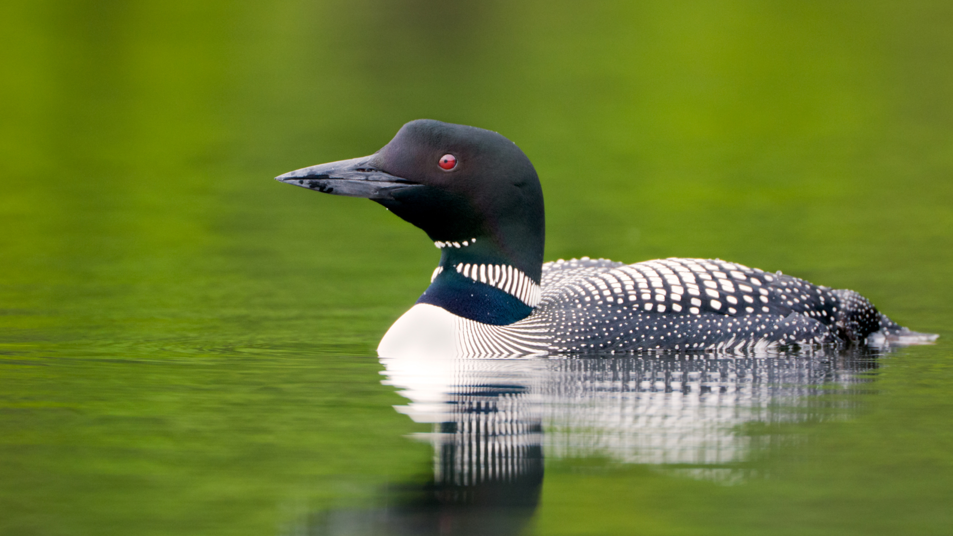
The key is that birds in flight behave differently from rain on radar. They move with coherent directionality, appear primarily between sunset and sunrise, and produce a characteristic bloom pattern radiating outward from roost sites at dusk as birds lift off. Rain is present at all hours, moves with the wind rather than against it, and does not produce the circular expansion pattern that a mass liftoff creates. Once you know what to look for, the two signatures are visually distinct.
Dual-polarization technology allows NEXRAD systems to emit and receive radio waves at two angles instead of one, which gives ornithologists a way to separate bird returns from precipitation returns based on the shape and orientation of the reflecting objects. Raindrops are oblate spheres. Birds are elongated, flapping targets. The polarimetric signature differs measurably, and BirdCast's algorithms use this to filter out precipitation and isolate biological targets.
Reading the dBZ Scale as a Birder
The radar reflectivity scale is measured in dBZ, a logarithmic unit that describes how much energy is bouncing back to the radar. For weather, high dBZ means heavy rain. For migration nights, high dBZ means high bird density aloft.
The basic metrics used in BirdCast migration reports are: minimal migration at less than 5 dBZ, representing fewer than 59 birds per cubic kilometer; light migration at 5 to 10 dBZ, approximating 59 to 71 birds per cubic kilometer; moderate migration at 10 to 20 dBZ, approximating 71 to 227 birds per cubic kilometer; heavy migration at 20 to 30 dBZ, approximating 227 to 1,788 birds per cubic kilometer; and extreme migration above 30 dBZ, representing more than 1,788 birds per cubic kilometer.
In practical birding terms, here is what those numbers mean on the ground the next morning:
Below 5 dBZ: Skip the early alarm. Birds are moving but in thin numbers. Check eBird reports from early risers and decide based on what others find.
5 to 10 dBZ: Worth getting out at a reasonable hour, especially if you are near a concentration point like a peninsula, a lakeshore, or a large park. Expect good birding rather than exceptional birding.
10 to 20 dBZ: Set the alarm. This is a meaningful migration night. Woodland edges will be active, your local patch will have new arrivals, and any concentration feature in the landscape will hold birds.
20 to 30 dBZ: Early alarm, no negotiation. This is a heavy migration night. Concentration points will be loaded. Prepare a target list before you sleep and know exactly where you are going at first light.
Above 30 dBZ: Rare. When it happens, cancel your morning plans and go to the best habitat available to you. These are the mornings that produce county lists shattered in two hours.
The Four Weather Variables to Check the Night Before
BirdCast synthesizes a complex weather model into a single forecast. Reading the underlying variables yourself gives you a deeper understanding of why a given night will or will not produce, and occasionally lets you catch a night BirdCast has underweighted.
We use Windy for most of this work. Its visual wind layer, pressure animation, and temperature overlays in one interface make it the most efficient tool available for the pre-migration check. Here is what we look at, in order.
1. Wind Direction
This is the single most important variable. Songbird migration in spring requires southerly winds: south, southwest, or southeast. Birds migrating north use these tailwinds to conserve energy and extend their flight windows.
On Windy, set the layer to Wind and look at the flow arrows across your region for tonight and tomorrow night. A broad southerly flow across the eastern flyway is the foundation of every major migration event. Northerly winds suppress movement almost entirely, as birds will not fly into a headwind when they can simply wait.
The critical scenario to watch for is the convergence setup: a cold front approaching from the northwest while a southerly flow is still pumping birds north ahead of it. Birds are moving fast on the southerly winds, the front catches up, and everything aloft gets forced down in a narrow band along the front's leading edge. That is a fallout. The morning after that convergence line passes your area is when you find warblers on the ground at your feet.
2. Wind Speed
Direction matters more than speed, but speed matters when it crosses certain thresholds. Light to moderate southerly winds of 10 to 20 mph produce the best migration conditions. Birds can fly efficiently, maintain altitude, and cover significant distance.
Very light winds under 5 mph can produce good migration but the birds move more slowly and may be more spread out. Very strong winds above 30 mph even from the south reduce migration volume because the turbulence and energy cost exceed the tailwind benefit for smaller songbirds.
On Windy, check both tonight's surface wind and the wind at 850 hPa, roughly 5,000 feet altitude, which is closer to where migrants actually fly. The two layers sometimes differ significantly, and the upper-level flow is what the birds are actually using.
3. Pressure Change
A rising barometer following a frontal passage is the classic condition for heavy migration: the front has cleared, the pressure is recovering, skies are clearing, and birds that were grounded by the front are now lifting off en masse.
On Windy, switch to the Pressure layer and look for the isobar pattern. A strong high building behind a departed frontal system, shown as tightly packed rising isobars moving in from the west or northwest, is one of the most reliable setups for exceptional migration mornings. Birds read pressure change as a go signal.
4. Cloud Cover and Precipitation
Clear skies favor migration because birds can use stars for navigation. Overcast nights can still produce good movement, and cloud cover sometimes encourages birds to fly lower, making them more detectable from the ground and more likely to land at first light in whatever habitat is directly below them.
The dangerous condition for birders hoping for a concentration is a clear, calm night with no frontal system: birds fly high, cover enormous distances, and land scattered across a wide landscape rather than concentrated at points. The best concentration conditions are a southerly flow that runs into a rain boundary or a cold front, forcing birds down together into a narrower geographic band.
Reading Raw NEXRAD: The National Weather Service Viewer
BirdCast processes radar data into a birder-friendly interface. But accessing the raw NEXRAD imagery directly through the National Weather Service radar viewer gives you additional resolution and lets you watch migration unfold in real time on any of the 143 radar stations across the contiguous US.
How to use it for migration monitoring:
Set the product to Base Reflectivity (0.5 degree). This is the lowest elevation scan, covering the layer of air closest to the ground where migrating songbirds are most concentrated.
Switch to Loop view. A static radar frame shows you a snapshot. A loop shows you movement, directionality, and the temporal pattern that distinguishes birds from precipitation and ground clutter. Birds appear after sunset, expand outward from roost sites, and move with coherent directionality. Rain moves with the wind and appears at all hours.
Watch for the bloom pattern at dusk. At sunset on a good migration night, you will see circular blooms of radar return expanding outward from wooded areas as birds lift off simultaneously from their daytime roost sites. Each bloom is a mass liftoff.
Watch for the halo pattern at dawn. The reverse happens at sunrise. As birds descend and concentrate before landing, a bright ring or halo appears around major radar stations. This dawn halo is your signal that birds are dropping, and that the next 60 to 90 minutes of birding will be exceptional. Knowing the halo is appearing over your region while you are driving to your patch is one of the more satisfying moments in spring birding.
Watch for the green donut. When radar returns fade from a broad bloom to a ring-shaped pattern in the hours before dawn, birds are concentrating into a lower altitude band as they prepare to land. The ring pattern indicates high bird density in a relatively thin atmospheric layer close to the ground, exactly where your woodland patches will intercept them.
How Landscape Shapes Where Birds Land
Reading radar tells you how many birds are moving and in what direction. But where they land is determined by the landscape they are flying over when the decision to descend is made, and this is where local knowledge becomes irreplaceable.
Birds descending at first light do not choose randomly. They follow structural cues in the landscape. The features that concentrate migrants most reliably are consistent across regions, and knowing them turns a morning of good radar into a morning of exceptional birding.
Large water bodies and their shores. Birds flying north over open water, the Great Lakes, the Atlantic coast, Chesapeake Bay, are making a physiological commitment. When the far shore appears at dawn, they land in whatever habitat is first available, often in extraordinary concentrations. Peninsulas projecting into large water bodies are the most productive spring migration sites in North America for exactly this reason: Point Pelee, Magee Marsh, Cape May, High Island. On a strong radar night, the best possible move is to be on the near shore of a large water body at dawn.
Forest fragments in open agricultural landscapes. A migrant descending over flat agricultural land will target any patch of trees visible from altitude. A 10-acre woodlot surrounded by corn fields on a good migration morning can hold more warblers per square meter than a 500-acre forest interior, because every bird in the sky is targeting the same isolated patch.
River corridors. Riparian woodland funnels birds along linear features that are visible from altitude and provide continuous cover. In arid landscapes, river corridors are often the only viable habitat for hundreds of miles, making them reliable concentration points regardless of migration intensity.
Landscape funnels and valley floors. In hilly or mountainous terrain, valleys channel low-flying migrants into predictable corridors. A valley running north-south that intersects a ridge system creates a funnel effect that can concentrate extraordinary numbers of birds into a narrow zone. These spots are often locally known but rarely publicized, and finding your own by studying topographic maps in relation to radar patterns is one of the more satisfying exercises in applied ornithology.
Large urban parks. Central Park in New York, Millennium Park in Chicago, Mount Royal in Montreal: large green spaces in dense urban matrices act like forest fragments in agricultural landscapes, but on a continental scale. Every bird descending over a major city targets the same green patch. On a heavy migration morning after a strong southerly flow, these parks deliver species lists that rival dedicated migration hotspots.
The Complete Pre-Migration Evening Routine
Here is the sequence we run through on any evening during the prime migration window, late April through late May in most eastern states:
6 PM: Check BirdCast for the three-night forecast. If tonight or tomorrow shows orange or red, proceed with the full routine. If gray, do a lighter check and go to bed at a normal hour.
6:30 PM: Open Windy. Check surface wind direction and speed, 850 hPa wind flow, and the pressure animation. Confirm the southerly flow. Look for the convergence setup, a frontal boundary approaching from the northwest while southerly winds are still active to your south and east.
7 PM: Check the NWS radar viewer in loop mode. Watch for the dusk bloom as it develops. Note the dBZ values building over your region. Cross-reference with BirdCast's live map as both update through the evening.
9 to 10 PM: Final check. How does the live radar look compared to the forecast? Is migration building faster or slower than expected? Is a rain boundary moving in that was not in the forecast? Adjust your alarm accordingly.
Alarm decision: Heavy migration (20 to 30 dBZ) building over your region means alarm at 30 minutes before civil twilight. Moderate migration (10 to 20 dBZ) means alarm at civil twilight. Light migration but good concentration features nearby means 30 minutes after civil twilight, still worth going.
Know your patch before you sleep. The morning of a good radar night is not the time to decide where to go. Have a primary location and a backup ready, chosen based on the landscape concentration features above and the wind direction. If the flow is south-southwest and you have a lake shore to your north, that is your primary.
Limitations to Keep in Mind
Radar beams can be blocked by terrain in mountainous regions, leaving them potentially blind to important migration corridors. If you bird in the western US, radar coverage has significant gaps in mountain regions, and BirdCast uses interpolation to fill those gaps. The processed BirdCast output is more reliable than raw NEXRAD in these areas.
Ground clutter from wind turbines, buildings, and topographic features can appear on radar as false migration signals, particularly at low elevations near radar stations. A key feature to look for when trying to identify ground clutter is the general absence of movement relative to the radar site, because biological targets move coherently while ground clutter returns are stationary.
Insects, especially during warm spring nights in the south, can produce radar returns that resemble light migration. Insect movement tends to be more diffuse and less directionally coherent than bird migration, and typically occurs at lower altitudes and higher temperatures than peak songbird nights.
For a deeper look at what the radar is measuring at the bird level, including the species composition behind the radar signal and how to connect radar observations to eBird records from the same night, see our guide on how to use BirdCast for spring birding.
The Short Version
Check BirdCast for the processed forecast. Open Windy for the four weather variables: wind direction, wind speed, pressure change, and cloud cover. Watch the NWS radar viewer in loop mode for the dusk bloom and dawn halo. Know your dBZ thresholds: below 10 is casual, 10 to 20 is worth the alarm, above 20 is mandatory. Know your landscape: find the concentration features in your region and be there at first light on the heavy nights.
The radar is running right now. Tonight's migration front is already visible if you know where to look. Set up your tools, check the Windy layer, watch for the bloom at dusk, and decide on your patch before you go to sleep.